Home » Planning » LocateMySchool™

Category: LocateMySchool™

Eddata Word Cloud

Is School Boundary Redistricting in Your Future?

By Susan M. McMillan, Ph.D., Senior Statistician and Researcher

Our family moved to Eden Prairie, MN during the middle of the 2011—12 school year. On an ice crystal-cold morning in January, I was pleasantly surprised to discover that a school bus would collect my boys at our corner. When we decided which house to purchase we had been under the impression that our family fell into the “walker” category because we lived only a few blocks from an elementary school.

The pleasant feeling faded as the other parents at the bus stop abandoned their “Minnesota nice” roots and described the acrimonious year-long redistricting process that had sent our neighborhood kids to a school about 1 and a half miles away. Read more

Why Map Data?

Why Map Data?

By Caroline Fahmy, President and CEO

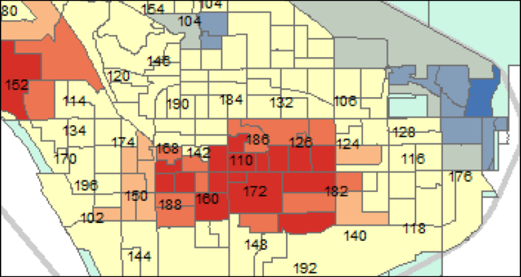
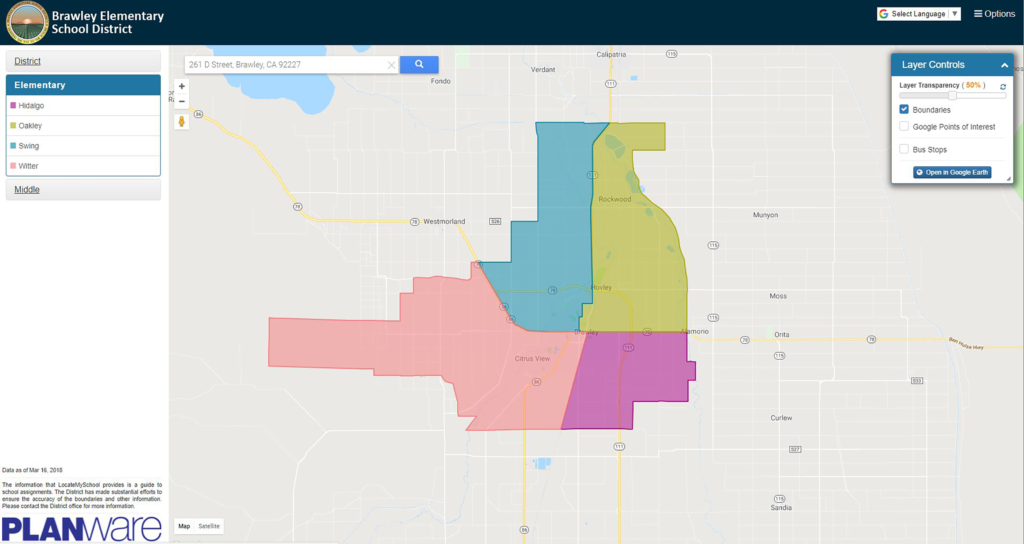
Since our company’s inception, our Planware division has used geographic information systems (GIS) to view data. Our GIS software applications and services have helped map school district boundaries and model changes in school attendance areas. Using maps to model changes in the district’s geography (e.g., new streets or subdivisions) or student population (e.g., growth or decline in one or more areas of the district) assists school district planners in making decisions about how to utilize their school facilities more efficiently and, ultimately, better meet students’ needs.

Read more

School Districts: Four Benefits of Using Geographic Information Systems (GIS) Technology

School Districts: Four Benefits of Using Geographic Information Systems (GIS) Technology

hollywoodtrans.com buy cialis By David Johnston, GIS specialist at Educational Data Systems

In today’s technologically connected world, we are constantly using Google Search to find the answers to our questions. In seconds, we can find the location of the nearest sandwich shop along with its reviews, website, and more. This is an example of geographic information systems (GIS) technology in action. In its simplest form, GIS technology delivers information based on a physical location. Think of it as a “smart map” that not only provides locations but can answer your questions, too.

Read more