We’re delighted to share this great article written by one of our LocateMySchool™ clients, Freddy Cornejo, Director of Transportation at Brawley Elementary School District. Mr. Cornejo shares some tips to help improve communication between the school district and local community by using GIS technology and smart maps.
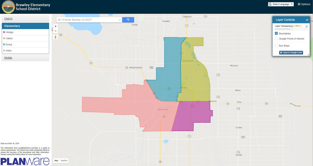
“Today, Brawley parents can get the information they need through any connected device. They enter their address and within seconds view information about which schools their children will attend, the bus stops in the area, and the walking, biking and driving distances and routes between home and school.”
Click here to read more.