By Caroline Fahmy, President and CEO
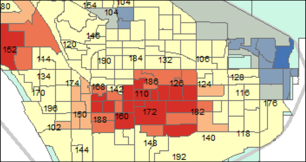
Since our company’s inception, our Planware division has used geographic information systems (GIS) to view data. Our GIS software applications and services have helped map school district boundaries and model changes in school attendance areas. Using maps to model changes in the district’s geography (e.g., new streets or subdivisions) or student population (e.g., growth or decline in one or more areas of the district) assists school district planners in making decisions about how to utilize their school facilities more efficiently and, ultimately, better meet students’ needs.