Home » Planning » GIS » Page 3

Category: GIS

School Districts: Four Benefits of Using Geographic Information Systems (GIS) Technology

School Districts: Four Benefits of Using Geographic Information Systems (GIS) Technology

hollywoodtrans.com buy cialis By David Johnston, GIS specialist at Educational Data Systems

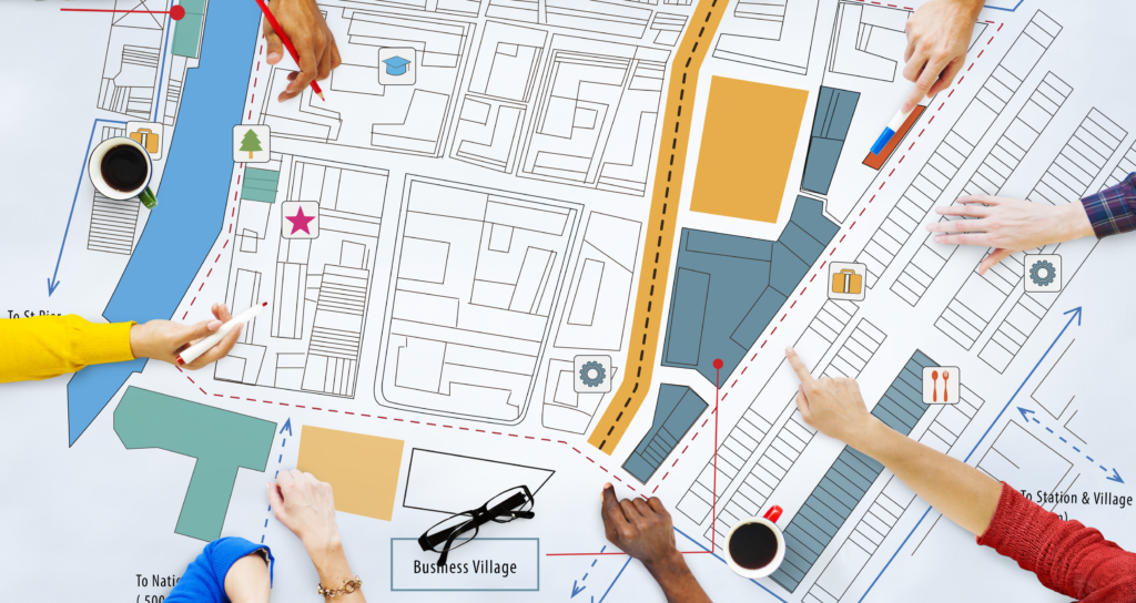
In today’s technologically connected world, we are constantly using Google Search to find the answers to our questions. In seconds, we can find the location of the nearest sandwich shop along with its reviews, website, and more. This is an example of geographic information systems (GIS) technology in action. In its simplest form, GIS technology delivers information based on a physical location. Think of it as a “smart map” that not only provides locations but can answer your questions, too.

Read more

Leverage the Power of GIS Technology to Improve Communication

Leverage the Power of GIS Technology to Improve Communication

Research from the National School Public Relations Association (NSPRA) indicates that there is a positive correlation between the involvement of family and community in schools and the improved academic achievement of students, including higher grade-point averages, better scores on standardized tests, and higher attendance rates. And for families of all socioeconomic, racial/ethnic, and educational backgrounds—and for students of all ages—school communication is an essential part of their success.

Read more